Vacancy notice
Advertisement date: Sep 28, 2026
The Government of Mongolia, with support from the Asian Development Bank (ADB), is implementing a loan project to strengthen Mongolia's Integrated Early Warning System. The project aims to establish a multi-hazard early warning system and strengthen national disaster risk management capacity.
The National Emergency Management Agency (NEMA) is seeking full-time Project Implementing Unit staff – PIU-07 Information Technology and Geoinformatics Specialist
Scope of work:
The Geoinformatics Specialist-Information Technology (IT) will provide technical support to NEMA and the PIU for the planning, development, implementation, integration, and operationalization of the National Integrated Disaster Management System (NIDMS), with a focus on geospatial information systems, spatial data integration, system interoperability, and institutional capacity development.
The Specialist will support the preparation of technical requirements, specifications, TORs, and relevant documentation; work closely with the selected consulting firm and NEMA to oversee NIDMS integration and data migration; to support system integration and interoperability; collaborate to manage, standardize, validate, and integrate multi-hazard geospatial data; develop GIS existing methodologies databases, spatial analyses, Web GIS platforms, maps, and dashboards; review technical deliverables and monitor system operation; and provide technical support, knowledge transfer, and practical training to NEMA and relevant users.
The position requires a total input of 54 person-months, with a potential start date by the end of October 2026. The position will be PIU office-based, and the inputs are expected to be provided continuously through the assignment period.
The Specialist will be responsible for the following duties:
Assist NEMA in developing detailed technical specifications for geospatial equipment required for the system, Terms of Reference (TORs) for consulting services related to developing the real-time National Integrated Disaster Management System (NIDMS); conducting market surveys; and preparing detailed cost estimates for relevant procurement packages.
Collaborate closely with the selected consulting firm and NEMA to oversee NIDMS development in accordance with the approved TOR and technical specifications, support data entry, migration, and spatial data integration, and ensure interoperability with existing systems.
Support the digitization, georeferencing, processing, standardization, validation, and integration of analog and national multi-hazard disaster-related data into NIDMS to ensure data accuracy, consistency, and usability.
To collaborate with NEMA in designing GIS methodologies and geodatabases using ArcGIS Pro to identify risk and analyze disaster locations, conditions, spatial patterns, and trends.
Assist in developing GIS-based analytical models and presenting analytical results through maps, interactive maps, graphs, and dashboards; applying GIS and geospatial technologies to support data analysis, visualization, planning, and decision-making;
Ensure that geospatial databases, system interfaces, and related NIDMS components comply with the approved security architecture and applicable information security requirements, standards, and protocols, in coordination with NEMA’s relevant information technology and cybersecurity personnel.
Coordinate with relevant NEMA departments and agencies to ensure the effective operation of the NIDMS including disaster protection plans (DPP), and consistency, completeness, and integration of information to be incorporated in to the system, including gender-disaggregated data on participants in disaster preparedness and response training, and relevant information, while ensuring system compatibility and interoperability with relevant systems and platforms
Review technical reports, system documentation, system outputs, GIS databases, and other deliverables submitted by the selected consulting firm, and provide technical comments, recommendations, and follow-up actions as required.
Support and participate in the testing, verification, validation, and operational acceptance of NIDMS, including system functionality, geospatial data integration, interoperability, system interfaces, and GIS databases; review test results and acceptance documentation, identify technical issues, and follow up on corrective actions as required.
Collect, process, validate, and maintain multi-hazard geospatial data and regularly update relevant geodatabases within NIDMS.
Provide technical support and knowledge transfer to NEMA and CEMA/LEMA relevant users on the operation, updating, and effective use of ArcGIS Pro applications and geospatial information within NIDMS.
Collaborate with the selected consulting firm in developing and reviewing system user manuals and training materials, including guidelines for system use and data entry, and provide comments and recommendations on the materials submitted by the consulting firm.
Support and coordinate the institutionalization of the system within NEMA by overseeing its implementation and use, facilitating necessary revisions and updates, and developing an electronic user guide covering system management, monitoring, modification, data entry, and other related functions.
Prepare other relevant technical reports and documentation arising from the assigned tasks, including technical review, geospatial data and GIS analysis reports, NIDMS testing and acceptance reports, system interoperability and data integration reports, and training and knowledge-transfer reports.
Work closely with PIU staff, consultants, NEMA personnel, and relevant government agencies on NIDMS-related areas.
Contribute to weekly project updates and provide input to quarterly and semi-annual progress reports and the final implementation report.
Participate in ADB missions, portfolio, technical and other official meetings, and prepare relevant technical documents, presentations, and briefing materials.
Undertake other project-related duties assigned by the Project Coordinator or Project Director.
Qualification Requirements for the Specialist
(i) Master degree or higher in Geoinformatics, Geographic Information Technology, Information Technology, Geographic Information Systems (GIS), or a related field;
(ii) At least 12 years of professional experience in geoinformatics, Geographic Information Systems (GIS), or related fields, including at least 10 years of relevant professional experience in GIS and geospatial information management; demonstrated experience in geospatial data processing, spatial analysis, map production, interactive mapping, and geodatabase development and management, using ArcGIS Pro, Web GIS, and GIS dashboards; experience in integrating and managing data from multiple sources;
(iii) Proficiency in GIS technical English and ability to communicate effectively in a professional and technical environment.
(iv) Good knowledge of relevant Mongolian legislation, standards, technical norms, regulations, and international standards and practices in geoinformatics and GIS.
Evaluation.
Overall rating = A (education) x Rating + B (experience) x Rating + C (other) x Rating.
Rating scale: Excellent 100%, Very Good 90 - 99%, Above Average 80 - 89%, Average
Candidates will be ranked by overall rating.
Application Procedure
Interested candidates should submit the following documents:
Cover letter (in English and Mongolian);
Curriculum Vitae (CV) in English in ADB format highlighting relevant experience;
Copies of diplomas and certificates, in the language in which they were originally issued, together with English translations;
At least two reference or recommendation letters from current and/or previous employers with their English translations
Please note that applications with missing or incomplete required documents may not be considered for evaluation. All submitted documents will not be returned to applicants.
Applications must be submitted by 08 Oct 2026, 17.00 o’clock to:
T.Zorig, Policy Planning Department, National Emergency Management Agency
Room № 306, Partizan Street, 4th Khoroo, Sukhbaatar District, Ulaanbaatar, Mongolia
Copy all texts of this article
Download all images of this article
Other news

2026/09/28
Recent NewsVacancy notice
The Government of Mongolia, with support from the Asian Development Bank (ADB), is implementing a loan project to strengthen Mongolia's Integrated Early Warning System. The project aims to establish a multi-hazard early warning system and strengthen national disaster risk management capacity.
2026/09/28
Recent NewsStrengthening national capacity for humanitarian coordination in Mongolia
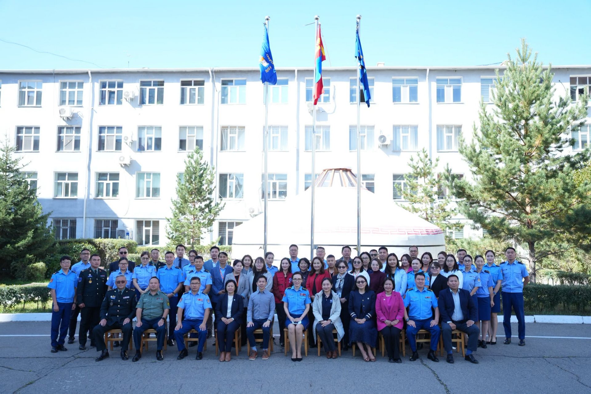
Through a combination of technical presentations, practical exercises and facilitated discussions, participants explored approaches to strengthening coordination between national authorities and international humanitarian actors, as well as mechanisms for effective information-sharing, needs assessment and coordinated response.